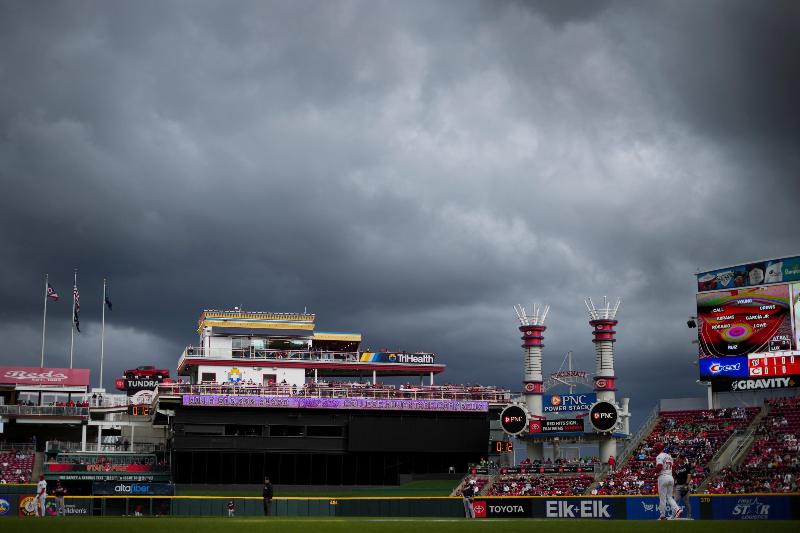
Coast-to-Coast Threat: Dual Storm Systems Poised to Unleash Heavy Rain, Flooding, and Severe Weather Across the Nation
The United States is bracing for a week of potentially disruptive and dangerous weather as a dynamic duo of storm systems converges, threatening to unleash heavy rainfall, widespread flooding, and the risk of severe thunderstorms from the Desert Southwest all the way to the East Coast. Forecasters are closely monitoring the situation, warning residents to prepare for potential impacts including flash flooding, damaging hail, and even the possibility of tornadoes in certain regions.
AccuWeather Meteorologist Brandon Buckingham emphasized the role of a slow-moving storm positioned over the Central United States as the primary driver of this widespread weather threat. "A slow-moving storm over the Central United States this week will act as the catalyst for a risk of severe thunderstorms and flooding rainfall," Buckingham stated, highlighting the storm’s potential to exacerbate existing weather conditions and trigger new hazards.
The National Weather Service (NWS) echoed these concerns, pointing to a "blocky pattern" in the atmosphere that could lead to moderate to heavy rainfall and an elevated risk of flash flooding across a broad swath of the country. The areas most at risk, according to the NWS, include the Ohio Valley, the East Coast, the Northern Rockies, the Great Basin, and the Southwest. This wide geographical distribution underscores the far-reaching nature of the impending weather event.
Contributing to the atmospheric instability is a congested weather pattern known as an omega block. This pattern, named for its resemblance to the Greek letter omega (Ω), is characterized by a high-pressure system sandwiched between two low-pressure systems, effectively creating a roadblock in the atmosphere. This "block" can disrupt the normal flow of weather systems, leading to prolonged periods of the same type of weather, and in this case, potentially severe and chaotic conditions. The omega block forces the jet stream into a distinct omega shape, which can trap weather systems and intensify their effects.
The already saturated ground conditions in some of the affected areas further heighten the risk of flooding. "Some of the areas facing storms are already sodden from days of rain, adding to the risk," Buckingham noted. This saturation reduces the ground’s ability to absorb additional rainfall, making flash flooding a significant concern, particularly in urban areas and low-lying regions.
The storm systems are also poised to tap into a rich source of moisture from the Gulf of Mexico, which could further fuel the development of heavy rainfall and severe thunderstorms. Buckingham warned that this influx of Gulf moisture could create a heightened risk of flooding and severe thunderstorms from Texas to the central Gulf Coast. The combination of atmospheric instability and abundant moisture creates a volatile environment conducive to the formation of intense weather phenomena.
AccuWeather specifically highlighted the potential for large hailstones and isolated tornadoes in portions of West Texas and far eastern New Mexico late on Monday. Residents in these areas were urged to remain vigilant and monitor weather updates closely. The potential for large hail, possibly reaching the size of tennis balls, poses a significant threat to property and could cause injuries. Travelers along interstates 10 and 20 in Texas were also advised to anticipate potential travel delays as storms ignite across the region. Strong winds, heavy rain, and reduced visibility could all contribute to hazardous driving conditions.
Looking ahead to Tuesday, forecasters anticipate a heavy rain and thunderstorm pattern to sweep across eastern Texas, Oklahoma, Arkansas, and Louisiana. AccuWeather warned that these areas could face intense winds, hail, isolated tornadoes, and flash flooding on Tuesday and Tuesday night. The risk of multiple severe weather hazards in these regions underscores the need for preparedness and proactive safety measures. Residents are encouraged to have a plan in place in case of severe weather, including knowing where to seek shelter and how to receive emergency alerts.
The potential for widespread and significant weather impacts throughout the week highlights the importance of staying informed and taking necessary precautions. Residents in the affected areas are urged to monitor local weather forecasts, heed warnings from authorities, and take steps to protect themselves and their property. This includes securing outdoor objects, clearing storm drains, and being prepared to seek shelter if necessary. The dual threat of flooding and severe thunderstorms underscores the need for a comprehensive approach to weather preparedness.
The chaotic weather patterns associated with the omega block and the convergence of storm systems are expected to continue throughout the week, bringing uncertainty and potential disruptions to millions of Americans. It’s crucial to remain vigilant, adaptable, and informed as the situation evolves. The ability to quickly respond to changing weather conditions could be vital in mitigating the risks associated with this potentially severe weather event.
