
Polar Vortex Unleashes String of Winter Storms, Bringing Snow, Ice, and Extreme Cold to the Central and Eastern U.S.
Introduction:
Brace yourselves as the latest and final winter storm in a series of February tempests is set to traverse the central Plains and Mid-Mississippi Valley, bringing a deluge of snow, ice, and frigid temperatures. The storm’s path will extend east into the southern Mid-Atlantic, leaving a trail of wintry misery in its wake.
Snowfall Expectations:
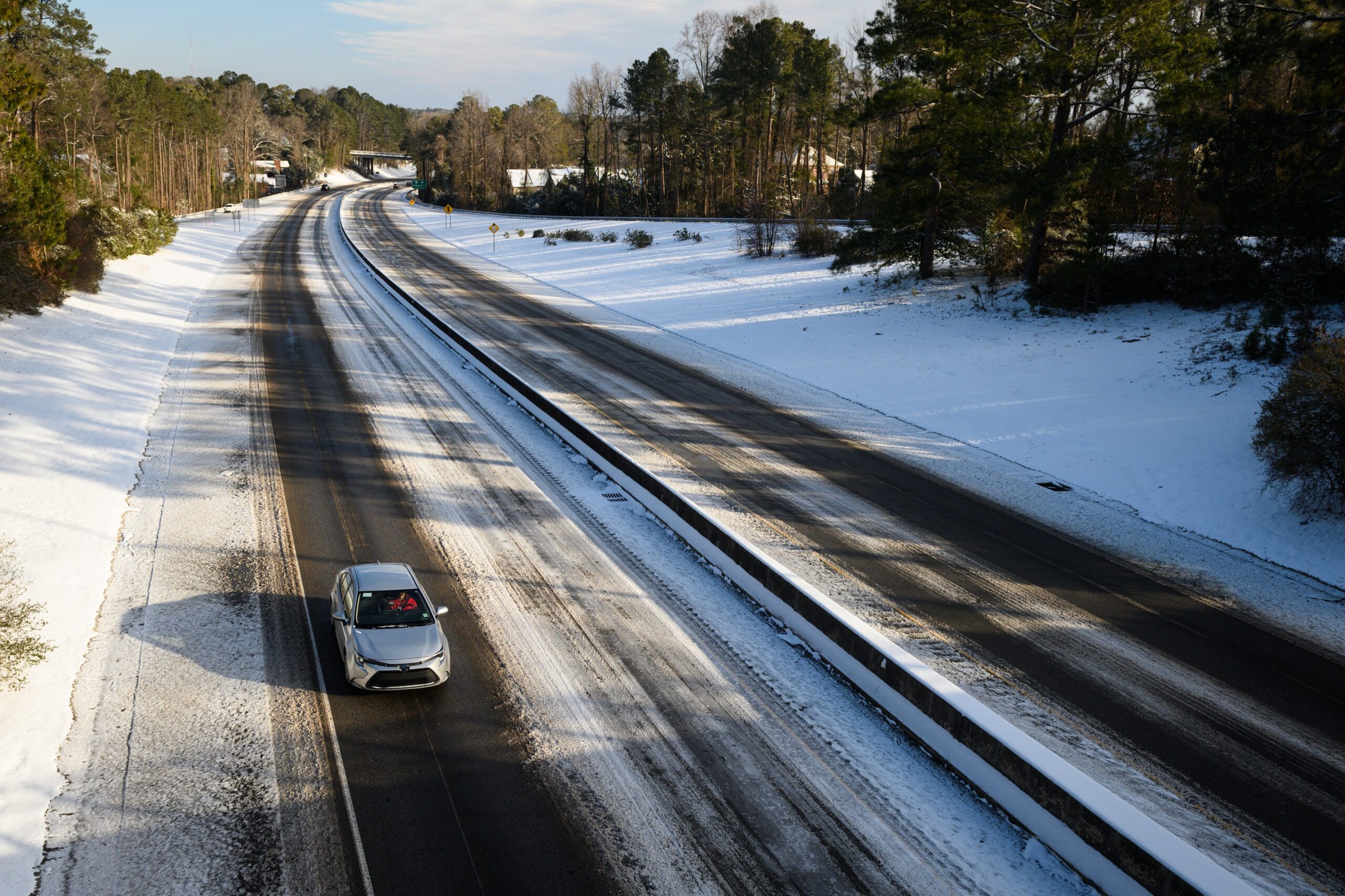
The National Weather Service (NWS) forecasts widespread upslope snowfall across the northern Rockies and into the High Plains on Tuesday. As the storm moves eastward, it will intensify, bringing 6 to 12 inches of snow to eastern Oklahoma, Arkansas, and southern Missouri by Wednesday morning. Sleet and freezing rain are also anticipated in the southern portions of these states on Tuesday afternoon and evening.
A second, more potent round of snow and ice will develop over the Plains and spread into the mid-Mississippi Valley from Tuesday to Wednesday. This surge will dump substantial snowfall, making for perilous travel conditions in cities like Topeka and Wichita, Kansas; St. Louis, Kansas City, and Springfield, Missouri; Tulsa, Oklahoma; and Fort Smith, Arkansas.
Eastward Movement and Impacts:
On Wednesday, the storm will shift eastward, engulfing the Tennessee Valley and southern Appalachians. By Wednesday night, it will reach the Mid-Atlantic, bringing 4 to 6 inches of snow to areas from eastern Kentucky to southern West Virginia. Southeastern Virginia, northeastern North Carolina, and the eastern shores may receive up to 8 inches of snow, according to NWS estimates.
Nashville and Memphis, Tennessee, along with Little Rock, Arkansas, will likely experience 1 to 3 inches of snow, while much of Kentucky is braced for 3 to 6 inches. Sleet and ice are also possible in the interior Deep South and parts of the Carolinas.
Southern Impacts and Gulf Coast Concerns:
The storm’s center of low pressure is expected to track just off the Gulf Coast, bringing rain and thunderstorms to eastern Texas and Louisiana on Tuesday night. By Wednesday, the precipitation will extend across the Gulf Coast and Southeast, including northern Florida. The NWS warns of locally heavy rain and potential flash flooding along the Gulf Coast.
Extreme Cold and Arctic Air:
Arctic air associated with a polar vortex will accompany the snow and ice, causing temperatures to plummet below zero across many regions from Montana and the Dakotas to the upper Midwest and portions of the central Plains. Wind chills are forecast to reach dangerously cold levels between -30 and -60 degrees Fahrenheit in these areas. Even in the central Plains, high temperatures will struggle to reach double digits for the next few afternoons.
By Thursday morning, the frigid air will descend upon the Gulf Coast, with temperatures dipping below freezing. Numerous low temperature records are expected to be shattered from the central Plains southward.
Safety Precautions:
Residents in affected areas are urged to take precautions to stay safe:
- Dress in layers, including hats, face masks, and gloves, before venturing outside.
- Limit time outdoors, especially during the coldest hours.
- Be aware of the risk of hypothermia and frostbite.
- Monitor local weather forecasts and warnings closely.
- Prepare emergency kits with food, water, and essential supplies in case of power outages.
- Avoid unnecessary travel, especially during snowstorms.
Additional Information:
The National Weather Service provides detailed weather forecasts, watches, and warnings on its website and social media channels. AccuWeather also offers comprehensive storm tracking and local forecasts. Stay informed and follow official guidance to navigate this winter storm safely.